skip to main
|
skip to sidebar
Map Catalog -- Ryne Malone
Tuesday, August 4, 2009
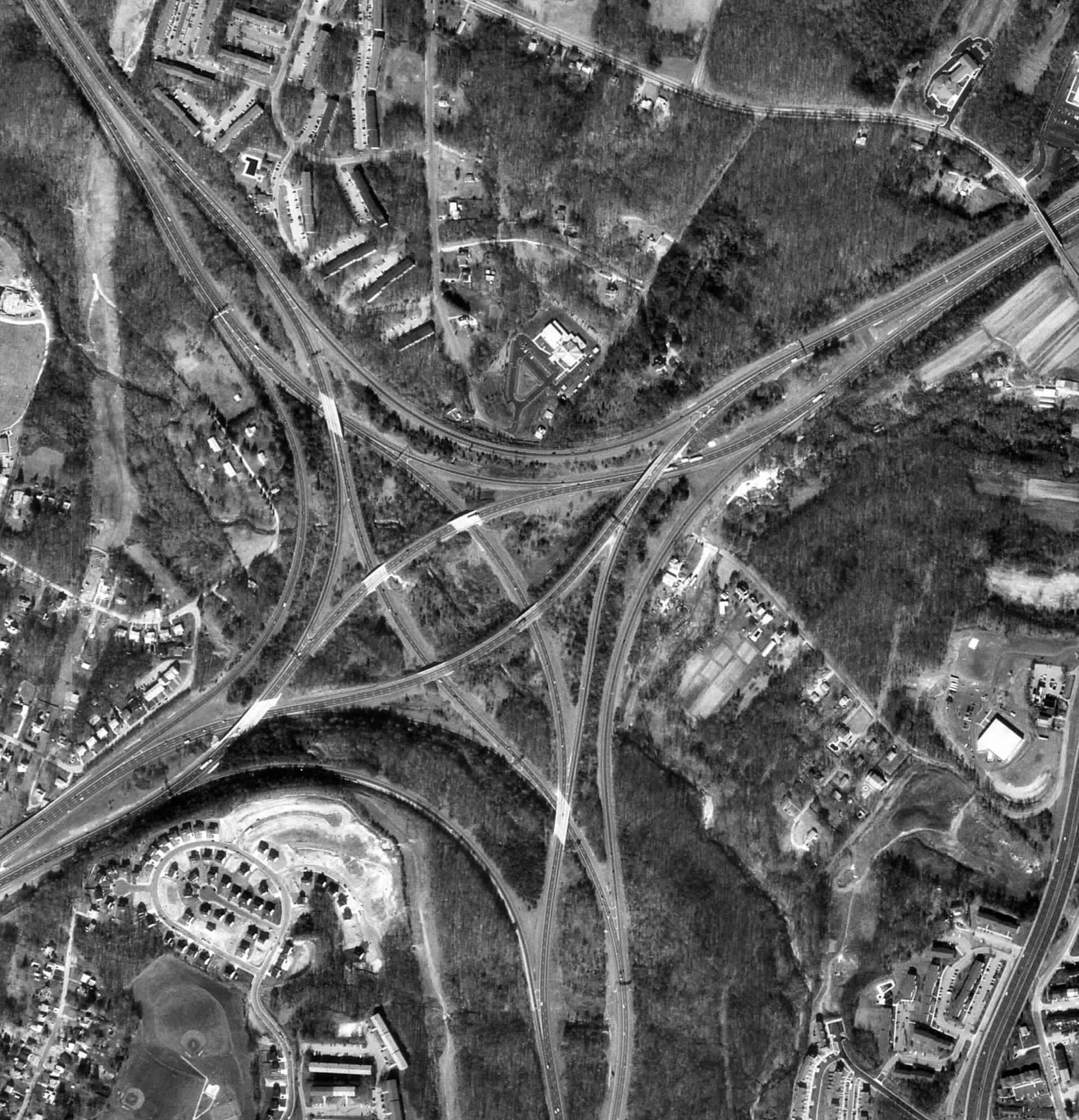
Black & White Aerial
Black and white aerial photograpy uses IR film to show a geographical visual of an area from the air. This map shows and area of Toronto from 20,000 feet.
source: http://www.math.toronto.edu/~drorbn/Gallery/KnottedObjects/Interchange/BWPositive.jpg
No comments:
Post a Comment
Newer Post
Older Post
Home
Subscribe to:
Post Comments (Atom)
Followers
Blog Archive
▼
2009
(52)
▼
August
(43)
Star plots
Correlation matrix
Similarity matrix
Stem and leaf plot
Box plot
Histogram
Parallel coordinate graph
Triangular Plot
Windrose
Climograph
Population profile
Scatterplot
Index Value Plot
Lorenz Curve
Bilateral graph
Nominal area choropleth map
Unstandardized choropleth maps
Standardized choropleth maps
Univariate choropleth maps
Bivariate choropleth maps
Unclass Chorlopeth Map
Classed choropleth maps
Range graded proportional circle map
Continuously variable proportional circle map
DOQQ
DEM
DLG
DRG
Isopleth
Isopach
Isohyeths
Isotachs
Isobars
LIDAR
Doppler Radar
Black & White Aerial
Infared Aerial Photo
Cartographic Animations
Statistical Map
Cartogram
Flow Map
Isoline Map
Proportional Circle Map
►
July
(7)
►
May
(2)
About Me
RPM
View my complete profile
No comments:
Post a Comment