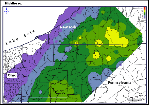
An isopach map is a map illustrating variation of thickness within a tabular unit or stratum. Isopachs are contour lines of equal thickness over an area. Isopach maps are utilized in stratigraphy, sedimentology, structural geology, petroleum geology and volcanology.
source: http://www.searchanddiscovery.com/documents/2007/07022lash/images/ani04.gif
No comments:
Post a Comment